Connect Downtown: Arlington Street
We are repaving Arlington Street and taking the opportunity to make it safer for all users, improve accessibility, and create a new, low-stress bicycle connection between the Back Bay and South End.
Our goals for Arlington Street
- Pedestrian safety. Make it safer and easier for you to Arlington Street.
- Accessibility. Rebuild curb ramps that do not meet accessibility standards.
- Connected bicycle network. Close gaps in the local bicycle network, prioritizing safe, all-ages and abilities bike lanes.
- Traffic and parking. Accommodate existing traffic volumes and maximize parking while prioritizing safer street designs.
October 2024: Construction Underway
- Paving will be complete by October 25, 2024
- Installation of pavement markings will begin early next week. Overnight work is scheduled from Sunday, October 27 to Wednesday, October 30 to ensure on-time completion. During this phase, we aim to install new signal equipment and reprogram signals, pending contractor availability.
- Signs and flexposts will be installed after the pavement markings are complete.
- Colored surface treatments will be installed as weather permits. Any remaining detail work will be installed next construction season.
We're excited to announce that construction is underway.
Key Construction Phases:
Please note that construction timelines are subject to change due to weather conditions, special events, or other unforeseen factors.
- Curb ramp reconstruction (2 - 3 weeks): Completed
- Upgrade curb ramps to meet accessibility standards.
- Remaining ramps will be upgraded in a future construction season.
- Road resurfacing (2 - 3 weeks): Underway
- Temporary parking restrictions will be in place during this phase.
- Sidewalks will remain open to pedestrians.
- Pavement markings, flexposts, signage, and signals (1 - 3 weeks):
- Install new lane markings, including the separated bike lane, using thermoplastic markings, flexposts, and specialized pavement markings.
- Implement new curb regulation signage and traffic signal reprogramming.
We appreciate your patience as we make these changes. There will be an adjustment period as users familiarize themselves with the new street design. We'll monitor the performance of these design changes over the coming year.
Talk with us!
EventsThere are no related events available at this time!
Design
We have illustrated the design plans for Arlington Street from Boylston Street to Tremont Street.
- Curb Ramps: We’ll rebuild curb ramps to be accessible. Some ramps will be possible to rebuild this year, while others will need engineering plans and will take a little longer.
- Pedestrian safety:
- All pedestrian crossings across Arlington Street will be shorter, reducing your exposure to general vehicle traffic.
- Between Isabella Street and Melrose Street, we'll add a crossing island, reducing the potential for multiple threat crashes.
- Smoother Road: The roadway between Stuart Street and Marginal Road will be repaved with fresh pavement, making a more comfortable experience for all users.
- Separated bike lane:
- Boylston Street to Marginal Road: We'll add a separated bike lane on the east side of Arlington Street. It will be one-way southbound, the same direction as general traffic.
- Marginal Road to Tremont Street: At Marginal Road, southbound bicyclists will turn left into a contraflow separated bike lane on the south side of Marginal Road, then turn right onto the Tremont Street bridge. We'll also add separated bike lanes on the Tremont Street bridge to connect to the existing separated bike lanes on Tremont Street south of Arlington Street.
- Traffic and capacity:
- Boylston Street to Marginal Road: Arlington Street will have one less general travel lane. We will re-time traffic signals and add turning lanes where needed to keep traffic moving, safely.
- Marginal Road to Tremont Street: We will keep four lanes of general traffic on this block.
- Parking: We understand the importance of on-street parking to the community. We are working on solutions that will improve safety while keeping as much parking available as possible. We will share more details about these options soon.
SIGNALS
You might notice some changes to traffic signals at these intersections:
- Arlington Street, Stuart Street, and Columbus Avenue
- Arlington Street and Boylston Street
We're making these changes to keep everyone safe while also helping traffic move as smoothly as possible.
ARLINGTON/STUART/COLUMBUS
The new traffic signal phasing program is now in effect. Please pay close attention to the signals, and note that your familiar path may be different now. Crews will finalize pavement markings and add flexposts in the coming days, weather permitting.
NEW SIGNAL PHASING PROGRAM
FOR PEDESTRIANS
- No need to push the button! All crossings are now automatic at all times of the day. Push buttons remain in place for accessibility.
- The exclusive pedestrian phase has been removed. Pedestrian phases occur during non-conflicting vehicle movements.
FOR BICYCLISTS
- Proceed only when you have a green light. Do not cross during pedestrian phases, even if you were used to doing this before. This is illegal and unsafe for you and other users.
- Southbound bicyclists may proceed through the intersection during PHASE 1.
- To turn right from Arlington Street to Columbus Avenue towards the South End:
- During PHASE 1, proceed forward and wait in front of the Columbus Ave crosswalk.
- During PHASE 4, continue on Columbus Ave.
FOR DRIVERS
- Never park or stop in non-designated locations. It's illegal and impedes traffic flow.
- A new left-turn-only lane and signal have been added for southbound drivers on Arlington St. Use the green left turn arrow to proceed.
- Other approaches remain unchanged.
ARLINGTON/BOYLSTON
November 15, 2024 Update: Crews will make changes to the signal phasing program in the coming days. Please pay close attention to the signals, and note that your familiar path may be different after the changes take effect.
NEW SIGNAL PHASING PROGRAM
FOR PEDESTRIANS
- No need to push the button! All crossings are automatic at all times of the day. Push buttons remain in place for accessibility.
- The exclusive pedestrian phase has been removed. Pedestrian phases occur during parallel vehicle phases.
- Pedestrians will get a head start crossing Arlington Street before the light turns green for drivers and bicyclists on Boylston Street.
FOR BICYCLISTS
- New bicycle signal! If you’re biking southbound on Arlington Street towards Boylston, please obey the bike signal. Only proceed when it’s green.
- Bicyclists going eastbound on Boylston Street should follow the vehicle traffic signals.
FOR DRIVERS
- A new left-turn-only lane and signal have been added for southbound drivers on Arlington St. Use the green left turn arrow to proceed.
- The Boylston Street eastbound approach remains unchanged.
Project map
The project area includes:
- Arlington Street from Boylston Street to Marginal Road
- Marginal Road from Arlington Street to Tremont Street
- Tremont Street from Marginal Road to Arlington Street/Herald Street
Common questions
FAQThe City of Boston's Go Boston 2030 plan identified the “Southwest Corridor Extension” as a priority bike corridor. This project became Connect Downtown, launched in 2019 with Arlington Street included as a study corridor.
In 2022, Mayor Wu announced a plan to expand the citywide bicycle network and introduce other neighborhood traffic calming. With nearby projects to provide northbound separated bike lanes on Berkeley Street and Charles Street South, Arlington is a natural and needed candidate for a southbound route.
In 2024, Arlington Street from Stuart Street to Marginal Road was funded for repaving and curb ramp upgrades.
Pedestrians will benefit from this project in several ways.
- Fewer, narrower travel lanes will encourage slower driving speeds and make crossing distances shorter.
- At Isabella Street and Melrose Street, we’ll install a pedestrian island for a safer crossing.
- This year, we’ll rebuild curb ramps at Winchester Street and Piedmont Street to meet accessibility standards. Other non-compliant curb ramps will be rebuilt in a future construction season.
- Lastly, the repaved road surface will make crosswalks smoother.
We started the Connect Downtown project in 2019. Arlington Street was one of the streets we focused on. In December 2019, we held a community walk in Chinatown and Bay Village, where people could share their experiences walking and biking on Arlington Street. We heard concerns about pedestrian safety at the crosswalk at Isabella and Melrose Streets. We continued talking to residents in 2020. We held both online and outdoor in-person events throughout the year.
In 2024, Arlington Street got funding for repaving and curb improvements. This was a great chance to add safety features residents requested and close a gap in the bike network. We met with the Bay Village Neighborhood Association in August to discuss the plans and hear their feedback.
We're still looking for your input! We want to finalize the plans by mid-September. Come to a meeting or email us at connect-downtown@boston.gov.
We want your feedback about:
- Curb regulations: what types of curb regulations should we prioritize?
- What are your experiences traveling on Arlington Street?
- Have we missed anything?
We value your input and will do our best to incorporate it in the final design.
These core elements of the project are not subject to change:
- Separated bike lanes: identified through the Connect Downtown planning process; based on Citywide safety and mobility goals
- Travel lane configuration: based on traffic data analysis
- Any design elements subject to engineering guidelines and accessibility requirements
We’re looking at crash data and traffic patterns to understand safety issues and how proposed changes could affect traffic.
- Crash data: We reviewed serious crashes on Arlington Street over the past nine years. Between Boylston Street and Tremont Street, there were 63 crashes with injuries, including 13 pedestrians, 4 bicyclists, and 46 people in motor vehicles.
- Traffic data: We counted vehicles at signalized intersections on Arlington Street in November 2023. We collect data using automatic counting technology on mid-week days representing typical traffic conditions.
We understand that street parking is important. But, pedestrian safety improvements do require some parking loss. The reason is simple: visibility. Parked vehicles block views of other people driving, biking, or waiting to cross. Parking restrictions near crosswalks and intersections increase visibility and reduce the risk of serious crashes.
From Columbus Ave to Marginal Road, the new design may impact up to 11 out of roughly 40 parking spaces. We’ll have a more accurate count as we advance the design and take your feedback.
We want to know what types of parking regulations you want the most of! We can explore changing existing curb regulations to rebalance based on your priorities.
North of Marginal Road the bike lane will be on the left side of Arlington Street, so bicyclists will have to switch to the right side at some point to continue southbound on Tremont Street. We carefully considered options to make this connection. The other options would add delay for all users, and could be more confusing to people biking. While the preferred design may seem unusual, we believe it's the safest and most efficient solution.
- Southbound bicyclists will experience less delay at the Marginal Road/Arlington Street intersection. They can use the same green light as southbound traffic on Arlington Street, which has the longest green time.
- We can maintain the same number of lanes on Arlington Street approaching Tremont Street/Herald Street. That means we don’t have to add green time for Arlington Street to keep traffic moving.
Project updates
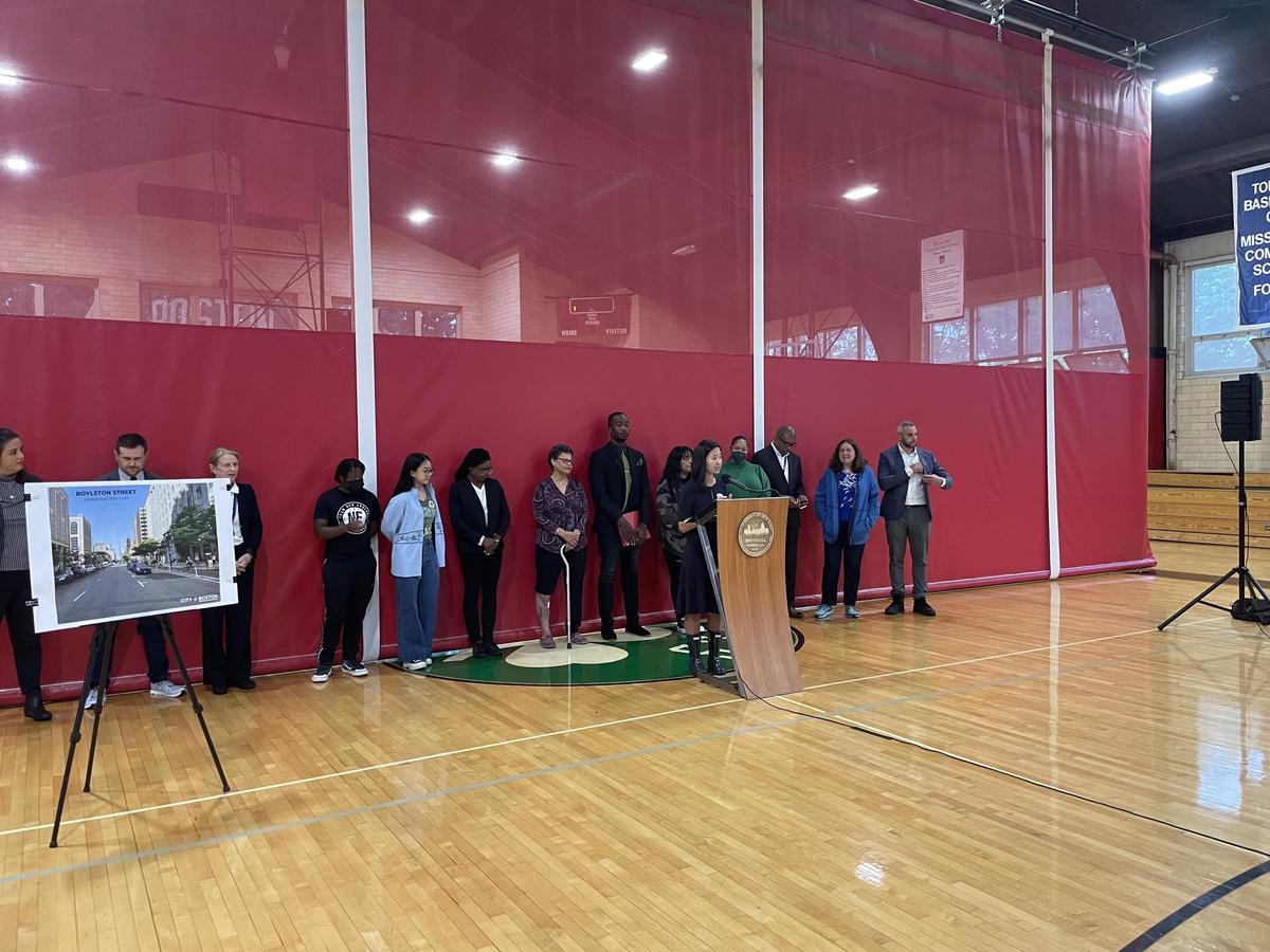
UpdatesTo build on her commitment to create safe streets for all modes of transportation, Mayor Michelle Wu and the Boston Transportation Department (BTD) announced a 9.4 mile expansion of bike lanes providing key connections within the City’s existing bike network and the launch of a Citywide design process to bring safer streets to every neighborhood. To do this, Boston is expanding Bluebikes to accommodate rising demand, designing traffic-calmed streets by building speed humps and raised crosswalks, and hiring more staff to aid in the design process.
The announcement was covered by local news outlets.
We held a series of virtual office hours during Fall 2020. You were invited to sign up for a 15-minute appointment during the listed hours with a member of the project team. Appointments were available online or over the phone. You brought your questions and reviewed information related to the project
Appointments were available on Wednesday afternoons during September and October:
- September 16, 3 - 7 p.m.
- September 23, 3 - 7 p.m.
- September 30, 3 - 7 p.m.
- October 7, 3 - 7 p.m.
- October 14, 3 - 7 p.m.
- October 21, 3 - 7 p.m.
- October 28, 3 - 7 p.m.
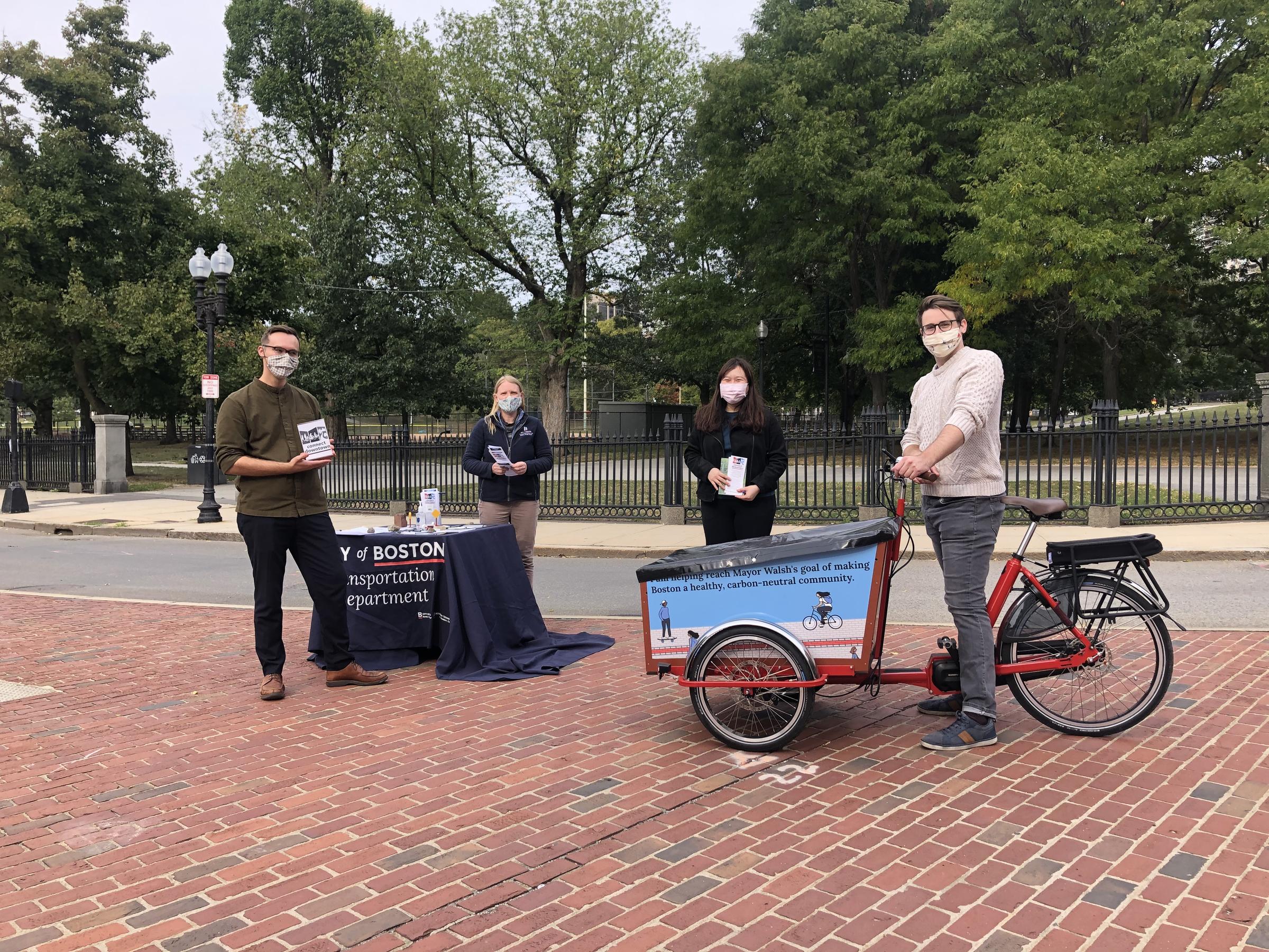
We hosted three outdoor information sessions. We shared information about the upcoming changes to traffic signals and new bike lanes. We answered questions and gathered your feedback. We engaged with people in English, Spanish, and Cantonese.
Meeting announcements were shared via a direct mailing, our email list, a press release, and City social media accounts. We followed state and City guidelines for meetings. All attendees wore a face covering and stood six feet apart.
We planned a series of Open Houses in March and expanded Office Hours into the spring. We were able to hold one Open House before in-person meetings were suspended. More than 45 people stopped by the event on March 5 at the Central Library.
The content shared at this Open House is available to explore online.
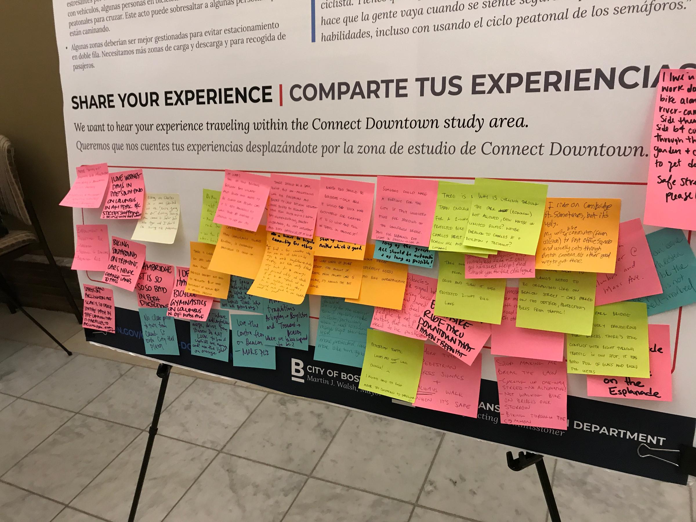
You were invited to drop in any time during office hours and talk one-on-one with us. You could review project materials, ask questions, and share your feedback. We hosted Office Hours weekly between January 8 and March 4 at the Boston Public Library’s Central Library and West End Library. We talked with 257 community members during our office hours. You shared almost 200 comments with us. We suspended Office Hours in early March because of COVID-19.
View the project fact sheet (PDF)
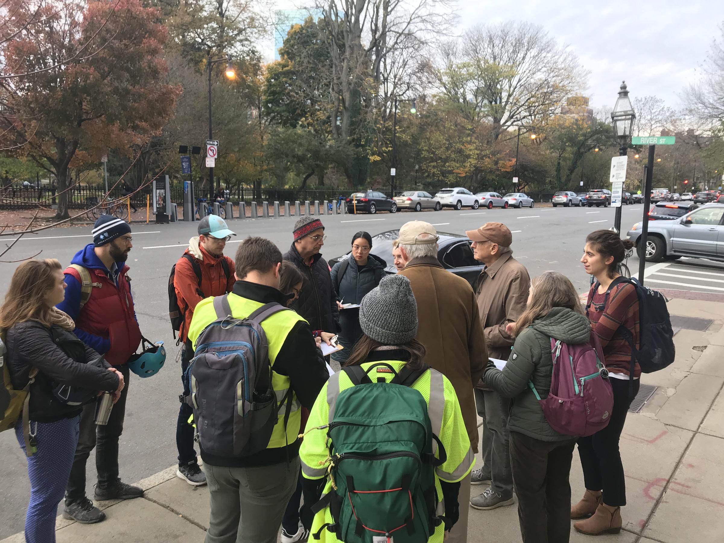
We hosted a series four of community walks during the fall of 2019. The walks covered neighborhoods and streets we are looking at as part of Connect Downtown. We invited community members to attend and share their experiences walking and biking in the study area.
Scroll down to read about each walk.
Beacon Hill
Saturday, November 2, 2019
- Intersections like Beacon Street at Charles Street and Charles Circle feel like barriers for people walking because of long wait times or unclear pedestrian signals.
- Desire for more pedestrian space and pedestrian-only events on Charles Street north of Beacon Street.
- Concern about excessive speeding on Charles Street south of Beacon Street and Beacon Street east of Charles Street.
- Some people want to bike but don't feel comfortable with the busy streets and intersections. People who bike now sometimes use the Common and sidewalks because they don't feel safe on the street.
- The curbside on Charles Street north of Beacon Street should be better managed to reduce double parking and provide space for commercial loading and passenger pickup and dropoff.
"People come [to Charles Street] for the pedestrian experience."
"This [crosswalk between the Boston Common and Public Garden] is a special place, a major gateway between two iconic, historic open spaces—and should look like it!"
"Biking from the West End to Copley Square is easy but biking back is very hard because of one-way streets."
"I don't usually have sympathy for bikers, but this area needs bike lanes!"
Back Bay
Thursday, November 7, 2019
- Walk signals are different at each intersection. Locals have learned how they work, but visitors find them confusing. The inconsistency erodes confidence in the signals. People make their own decisions about when to cross.
- The Beacon Street, Arlington Street, Mugar Way intersection is stressful for people walking because of long wait times, confusing signals, and multi-stage crossings via small islands.
- Many people bike in the area but the streets and intersections are not designed for them. As a result, people who bike have developed their own strategies to navigate the area. Some feel like the only "safe" option is to go during the pedestrian signal to avoid stressful interactions with vehicles.
- People often bike across the plaza on the southwest corner of Charles Street South and Boylston Street to get to Columbus Ave and continue to the Southwest Corridor. They are avoiding the stressful weave from Stuart Street to Charles Street South to Park Plaza.
"Consistency in walk signals is important. It gives pedestrians confidence."
"Can we put a big crosswalk in the middle of the intersection so you can cross directly from the Public Garden to the Commonwealth Ave Mall?"
"Being on the island in the middle of the intersection [of Beacon Street and Arlington Street] is like being a penguin on an iceberg with rising sea levels."
"It's common to see bicyclists cut across the intersection [of Boylston Street at Charles Street] and use the sidewalk to get to Columbus Ave [heading southwest]."
South End
Wednesday, November 13, 2019
- Walk signals are inconsistent. Some are concurrent with vehicles while others are exclusive. People find this confusing. Some make their own choices about when and where to cross.
- The sidewalks on Columbus Ave are narrow and feel congested, especially during peak travel hours. Nearby Back Bay Station is a major draw for people walking.
- Columbus Ave is an important bike route through the city. In the South End, bike commuters choose Columbus Ave over the Southwest Corridor Park because it's a direct connection between downtown and neighborhoods to the southwest.
- Desire for better bike lanes on Columbus Avenue. The existing bike lanes on southwest of Dartmouth Street feel too narrow and are often blocked by doubled-parked cars. Northeast of Dartmouth Street, there are no bike lanes.
"We should embrace the cold weather. Can we have car-free street events during the winter?"
"Can we make the intersections more compact and feel human-scaled?"
"Sidewalks [on Columbus Ave] between Clarendon and Berkeley are very congested, particularly when trains let out at Back Bay Station."
"Can we reduce the number of travel lanes on Columbus Ave northeast of Dartmouth Street so we can have separated bike lanes? There could be a left turn lane at Berkeley Street for the [Route 39] bus and drivers going to Storrow Drive."
Bay Village/Chinatown
Tuesday, December 10
- Walk signals are too short and infrequent. People who aren't able to walk fast have to wait for two full cycles.
- Some unsignalized crosswalks are stressful to use because there are many lanes and drivers go fast. Examples include Tremont Street at the Tufts Medical Center garage, Charles Street South at Melrose Street, and Arlington Street at Isabella Street.
- In some places, many people cross the street but there is no crosswalk. Examples include Boylston Street mid-way between Tremont Street and Charles Street, Stuart Street at Warrenton Street, and Charles Street South at Park Plaza.
- Stuart Street, Charles Street South, Boylston Street, and Tremont Street are important bike routes in the city but don't have bike facilities.
- People who bike find some intersections very stressful because of turning or weaving traffic. To avoid conflicts with vehicles, some choose to go during the pedestrian phase.
"The north-south crossing on the east side of Arlington Street at Stuart Street has a staggered pedestrian crossing. You get stuck in the middle. It's difficult."
"Exclusive pedestrian phases are too short with too long of a wait in between."
"The turn from Stuart Street onto Charles Street South is scary as a bicyclist. You have to weave across a bunch of lanes. This results in people going when they feel safe based on their ability level, including on the walk signal."
"This area is very very loud because of cars, trucks, and sirens. We have had to shout to hear each other this entire walk!"
"Can we do something to manage pickup and dropoff traffic? Tremont Street south of Stuart Street gets really congested with Ubers when theater shows start or finish."


